
 6800ft.





Sunday Light Rain then Chance Rain Showers |
Monday Sunny |
Tuesday Sunny |
Wednesday Sunny |
Thursday Sunny |
Friday Sunny |
Saturday Sunny |
|
| High: 47 °F | High: 54 °F | High: 58 °F | High: 55 °F | High: 55 °F | High: 55 °F | High: 56 °F | |
Tonight Light Rain |
Sunday Night  Slight Chance Rain Showers then Mostly Clear |
Monday Night  Partly Cloudy |
Tuesday Night  Mostly Clear |
Wednesday Night Mostly Clear |
Thursday Night Mostly Clear |
Friday Night Mostly Clear |
|
| Low: 31 °F | Low: 26 °F | Low: 30 °F | Low: 28 °F | Low: 29 °F | Low: 30 °F | Low: 30 °F | |
Ben's WX Summary
- Updated: Saturday @ 07:12pm
Our latest Pacific storm system has arrived on schedule with showers on the increase this evening. Rain will continue through tonight, possibly becoming moderate to heavy at times with gusty southwest 10-20 mph as lows cool to the upper 30s and 40s. The snow level will remain above 8,500 feet. Rain will persist through Sunday morning, turning showery by afternoon with highs in the 40s along with gusty southwest winds to 20 mph at times. Showers will come to an end Sunday evening with clearing skies and light winds as lows drop into the upper 20s and 30s.
The snow level may also drop a bit by Sunday night to around 7,000 feet, but most of the precip will be over by then leaving little, if any accumulation, except above 8,500 feet. Rainfall amounts of around 0.25”- 0.50” are still expected across all coastal and valley areas of Southern California with 0.50"- 1.00" in the mountains and further south in San Diego County. Localized rainfall amounts of 1-2" are also possible on some of our lower coastal slopes. Continued cool and breezy early next week as conditions dry out with below normal temperatures. Another storm may affect the area later in the week, though confidence remains low in the details at this time. If you have travel plans into the mountains this weekend, be prepared for the wet weather and always carry chains.
The snow level may also drop a bit by Sunday night to around 7,000 feet, but most of the precip will be over by then leaving little, if any accumulation, except above 8,500 feet. Rainfall amounts of around 0.25”- 0.50” are still expected across all coastal and valley areas of Southern California with 0.50"- 1.00" in the mountains and further south in San Diego County. Localized rainfall amounts of 1-2" are also possible on some of our lower coastal slopes. Continued cool and breezy early next week as conditions dry out with below normal temperatures. Another storm may affect the area later in the week, though confidence remains low in the details at this time. If you have travel plans into the mountains this weekend, be prepared for the wet weather and always carry chains.
| Current Conditions | Wind | Rain | Outlook | ||||||||||||||||||||||||||||||||||||
|
|
|
|
||||||||||||||||||||||||||||||||||||
| Humidity & Barometer | Snowfall | Moon | |||||||||||||||||||||||||||||||||||||
|
|
|
|||||||||||||||||||||||||||||||||||||
| UV Index | Solar Radiation | ||||||||||||||||||||||||||||||||||||||
|
|
||||||||||||||||||||||||||||||||||||||


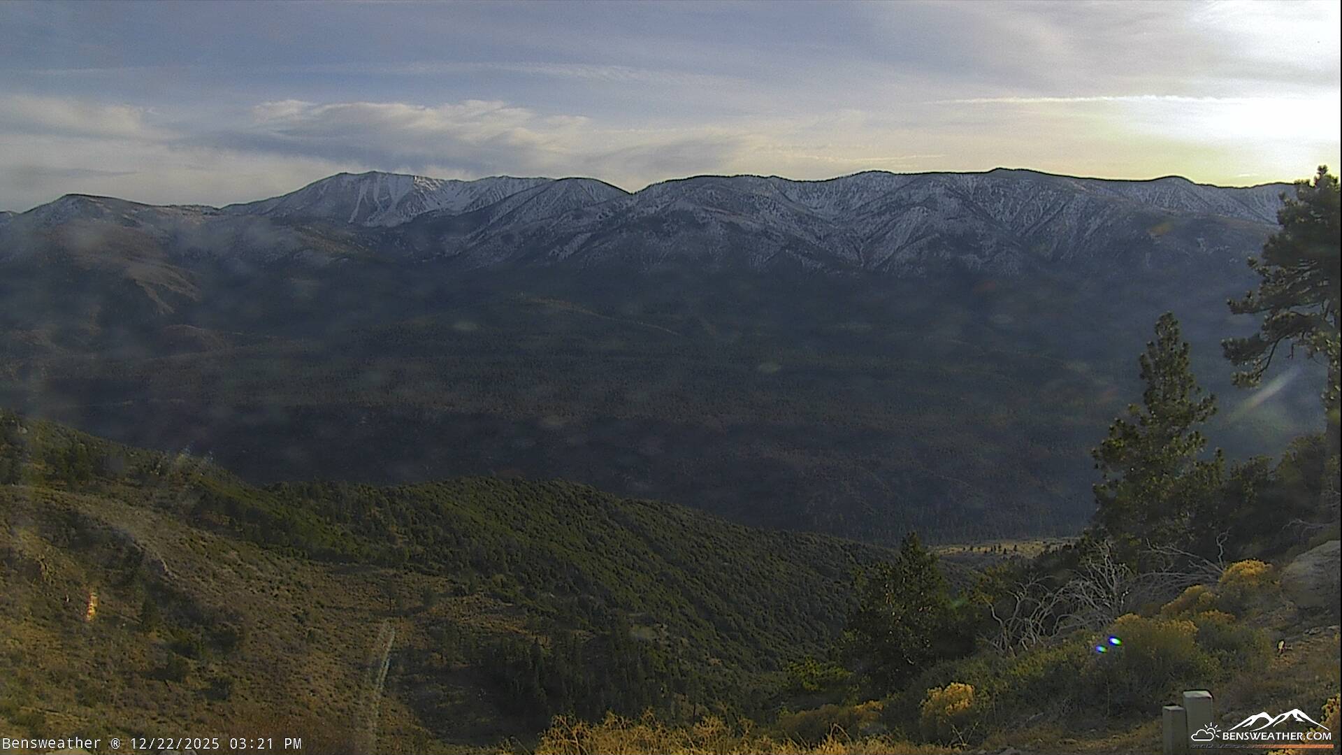
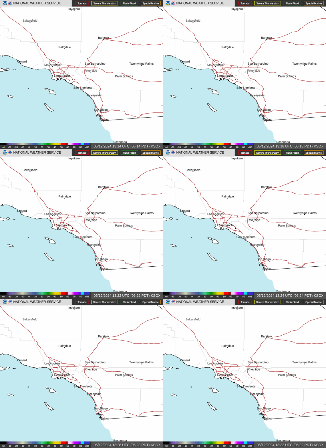
Live Cams



 © bensweather